Measured Building Surveys
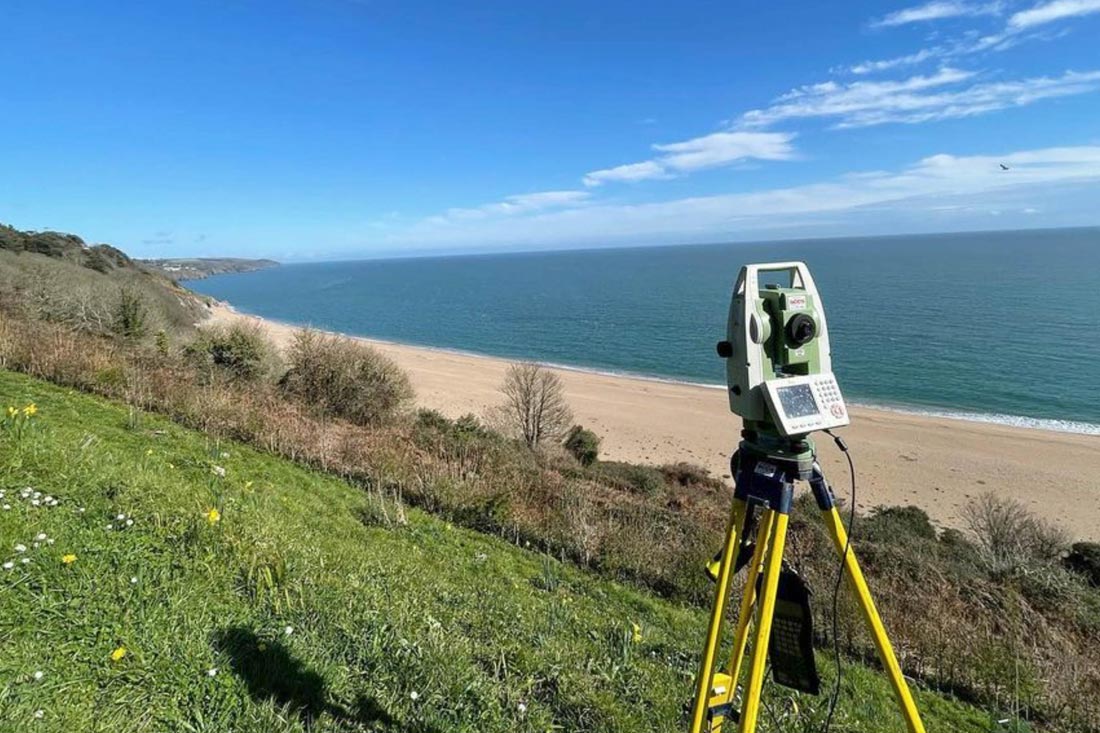
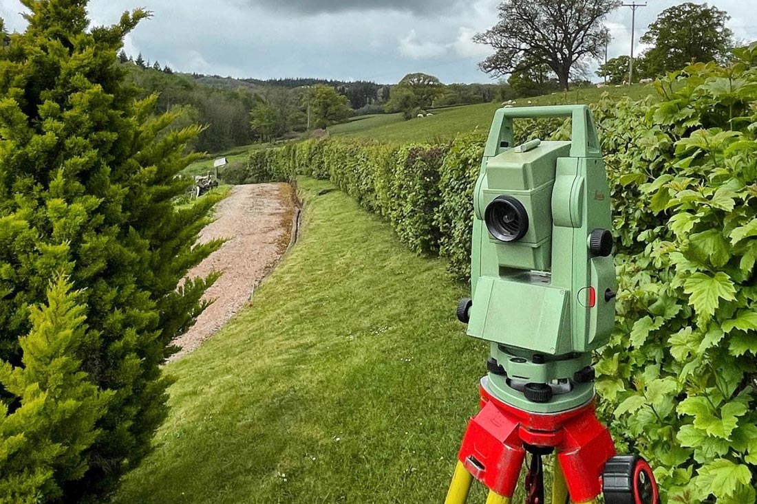
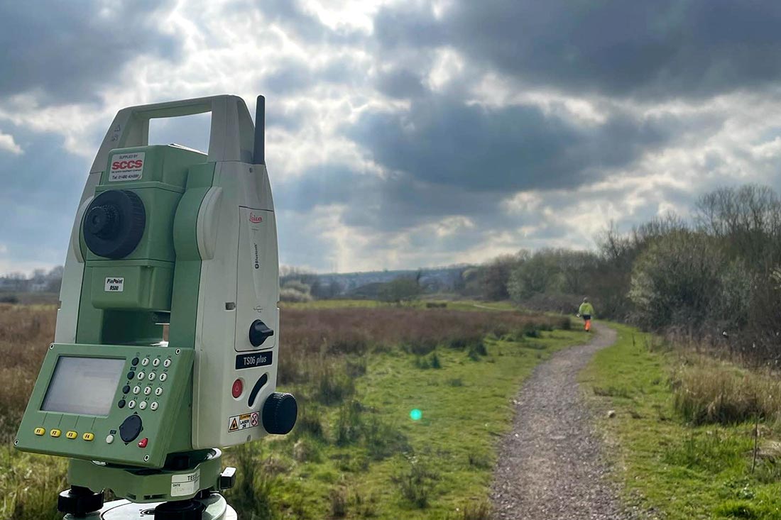
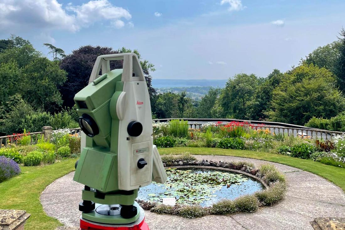
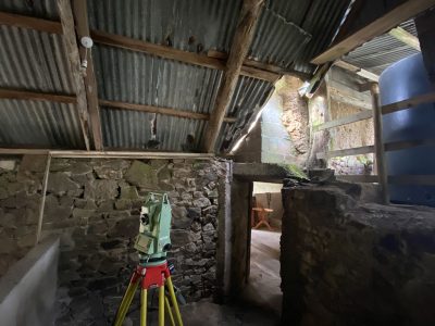
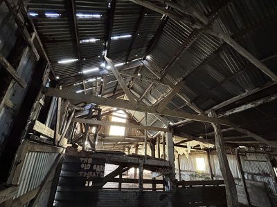
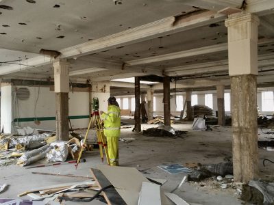
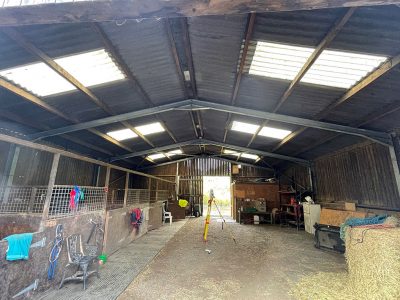
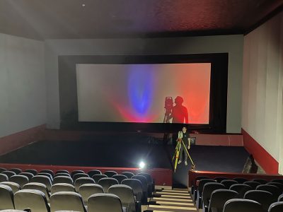
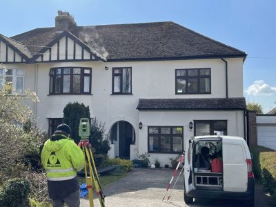
Using a range of the latest technology such as scanners and non-contact total stations we can detail and measure the internals and externals of a building to a high degree of accuracy based on your needs. This information can then be put through a range of software to produce detailed and accurate scaled and title blocked plans in all relevant file formats for use in/with CAD, Revit, point clouds or TrueView.
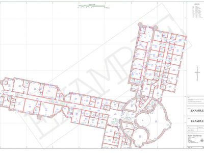
Floor plans
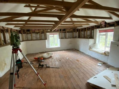
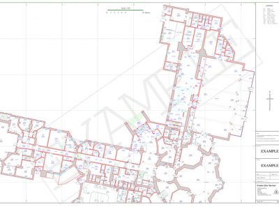
2D plans of a buildings internal features. Bringing non-contact total stations and 3d scanners inside the building we can obtain more detail, to a higher level of accuracy and quality in a shorter period of time than by using tape measures and common EDM’s. All measurements taken can be related back to the buildings external structure.
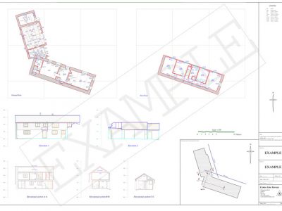
Typical floor plans include details such as room heights and floor levels; floor types e.g. carpet, concrete, floor board directions; windows positions and sill/lintel levels; door positions and frame heights; wall positions; ceiling details such as beams and changes in ceiling pitch; plumbed sanitary ware such as toilet and sink positions.
Sometimes greater detail is required such as location of electric sockets; light switches and other ‘wired’ devices; radiator positions, pipe runs and other more bespoke detail. We can adjust the level of detail to your exacting requirements.
Elevations
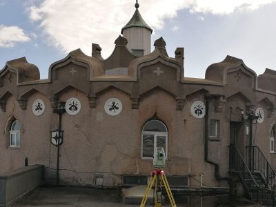
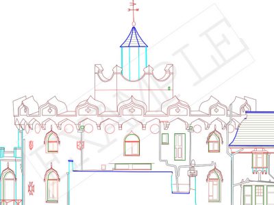
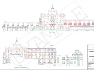
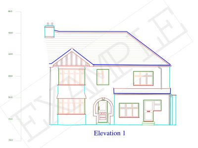
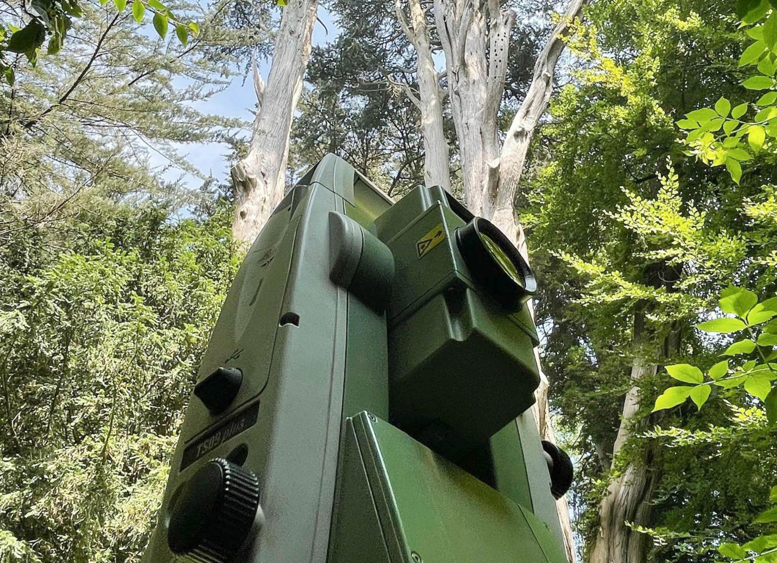
External elevations of the buildings faces can be achieved with reflector-less measuring theodolites or total stations to a high degree of accuracy and quality while being much faster and more accurate than traditional methods of measured sketches.
Typical elevation drawings would include rooflines, building outlines, drains and gutters, openings and frame detail and some masonry detailing. We can tailor the specific detail to each job, specific to your needs.
For very high detail we can also make a 3d scan of the building and produce a point cloud as well as 2d drawings from the data.
Sections
Cross sections and long sections are a slice through representation of the building or terrain that has been surveyed. They are used to detail and visualise heights and positions of key features along the determined line of the section.

